Tour Itinerary: The Montfort Fortress – the Kziv River, Circular
Contact and address
- Location
- Mizpe Hila
נווטו אלינו
מידע נוסף
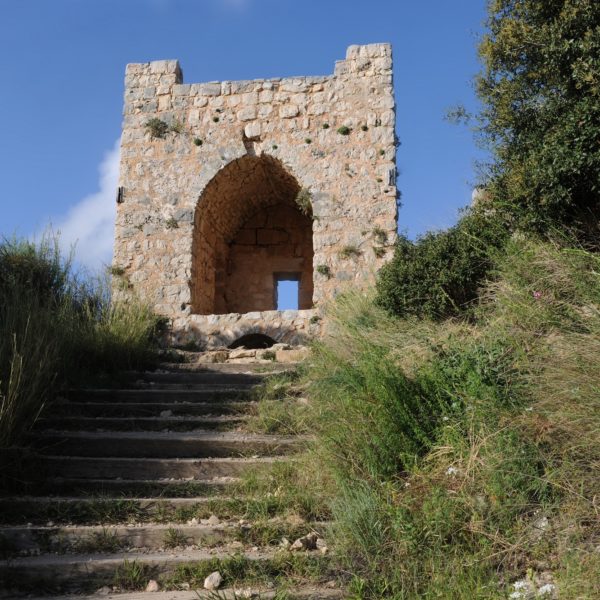
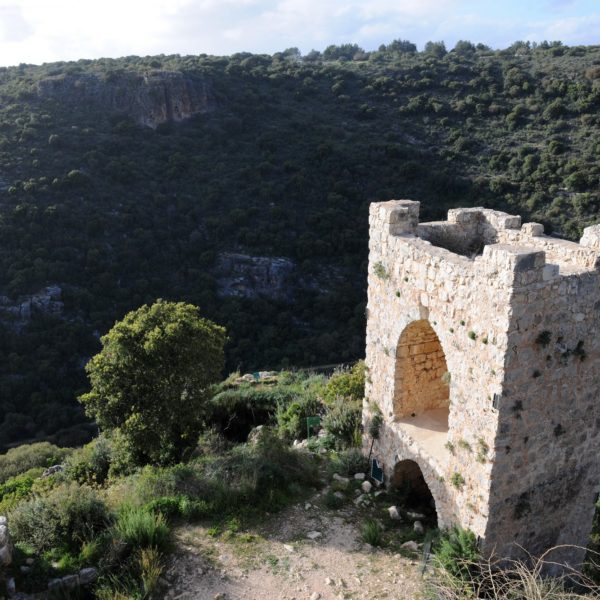
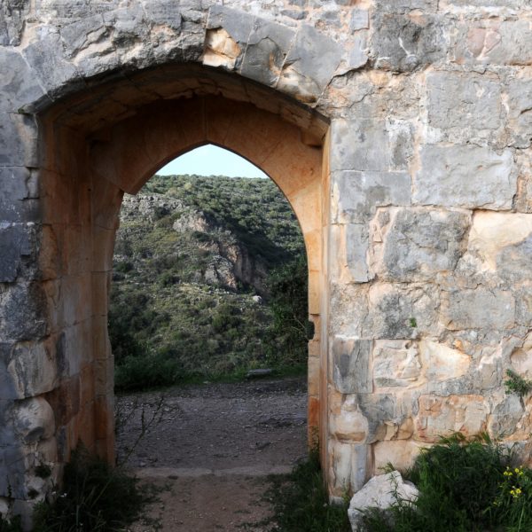
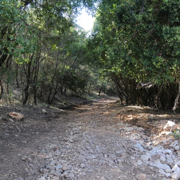
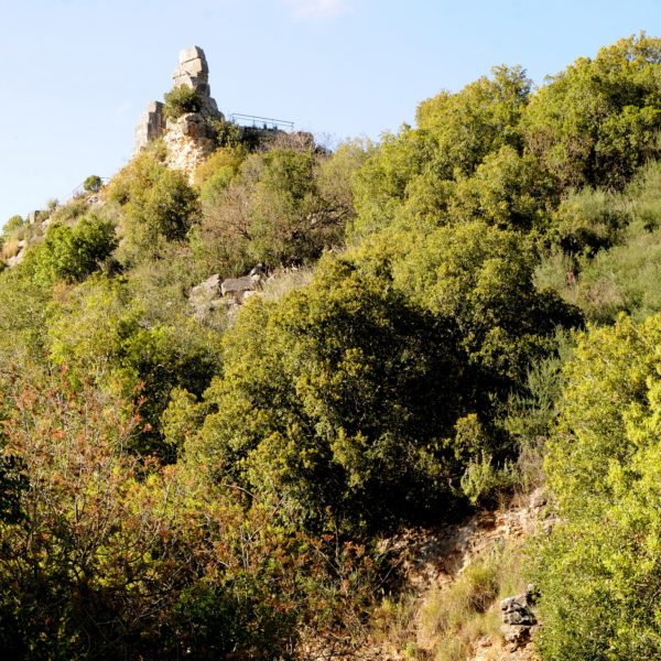
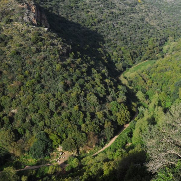
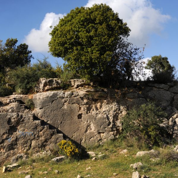
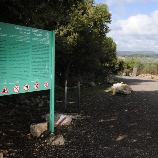
This route is a continuation of the route to the Montfort Fortress. From the Fortress you can descend to the Kziv River and continue on a circular route. The start of the route is next to the entrance to Mizpe Hila. Do not go into the settlement but rather continue west to a large parking lot. Descend with the marked path towards the Fortress. After visiting the Fortress descend with the red marked paths to the Kziv River ravine and turn right. Continue along the ravine to Ein Tamir. Ein Tamir is a spring flowing from the rock. You can enter its aperture and walk in the water. Please ensure to take torches and be cautious. From Ein Tamir we return slightly westwards and start to climb the southern incline following the black marked path, back to the car. The ascent is long and mostly shaded with observation points along it to the ravine and beautiful and dense woodland.
The Kziv River is the longest river in the Western Galilee. It is some 40 km long. It starts in the Meron Mountains in the east and flows into the sea in the west. In the past the river was full of water all year long however today there is less flow due to pumping of some of its sources. In the river ravine there are large and beautiful plane trees, water plants, an abundance of flowers, water pools for bathing and ruins of flour mills which testify to times in which the flow of the river was forceful.
Type of route – circular. Length of route – some 10 km. Level of difficulty – moderate – hard (the return ascent is long and difficult).
Recommended season – all year.
The route is suitable for experienced hikers. It is not recommended for small children. The route could take some 5 hours and you should use discretion in regard to the start time.
By: Ayelet Bar Meir, Certified Tour Guide